The Danckerts Atlas in Berne
The Danckerts publishing house, founded by Cornelis Danckerts (1604-1656), was located at Calverstraat in Amsterdam. It was a family business run by members of four generations. Cornelis‘s son, Justus, and Justus’s sons, Theodorus and Cornelis, were the most important exponents of the dynasty and operated the publishing company up to its liquidation in 1727. This coincided with the decline of the Dutch Golden Age, an era of economic, political and cultural primacy exerted by the Netherlands in the 16th and 17th centuries.
Today, we know of 58 copies of the Danckerts Atlas still existing worldwide. The number of sheets among them varies, and their history of publication is practically unknown. The atlases do not carry date stampings on their front page, but the name of Justus Danckerts (1635–1701) is often mentioned. Danckerts specialist Gyuri Danku was able to establish a chronology of the maps by comparing the atlases. He examined the quality of the printing and its peculiarities, the water marks, historical facts, sources mentioning the atlases and the differing styles of engravers (e.g. handwriting, allegories, cartographic symbols).
Maps are rarely new creations in their own right. Likewise, the Danckerts sheets are based on works by other cartographers and publishers, e.g. de Wit or Visscher. Both of them were Amsterdam cartographers, too.
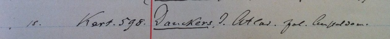
The University Library Bern owns a copy of the Danckerts Atlas containing 49 sheets. It is estimated to have been assembled between 1713 and 1715. The copy is unbound, has Latin titles and a Dutch imprint. The atlas came into the library’s possession in 1886, then called Stadtbibliothek. It was donated by the Bernese geologist and engineer Edmund von Fellenberg (1838-1902). In 2016 the maps were taken care of by the conservation department in view of the present exhibition. Moreover they were digitized and may now be viewed online on www.e-rara.ch.