Old maps are wiser than Google Earth
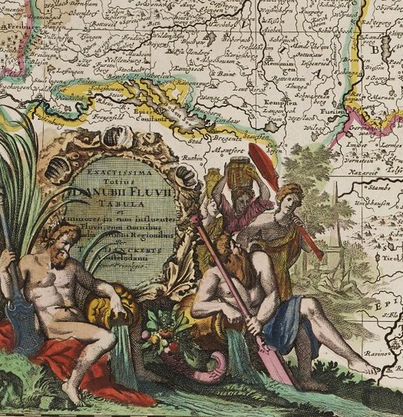
The course of the river Danube (shelfmark: MUE Kart III 7 : 19) is depicted on two elongated maps as running between Freiburg im Breisgau in the upper left and Constantinople in the bottom right corner. The river is not shown true to scale and therefore dominates the map, and to top it off, the cartouche takes up the symbolism of fertility with images of springs and wells.
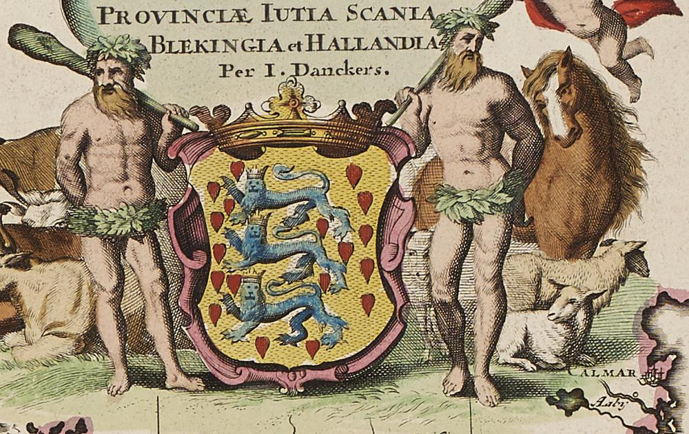
Two savage figures stand for agrarian Denmark (shelfmark: MUE Kart III 7 : 43), which then also comprised Schleswig-Holstein. The mudflats are hinted at by shadings alongside the coastal areas.
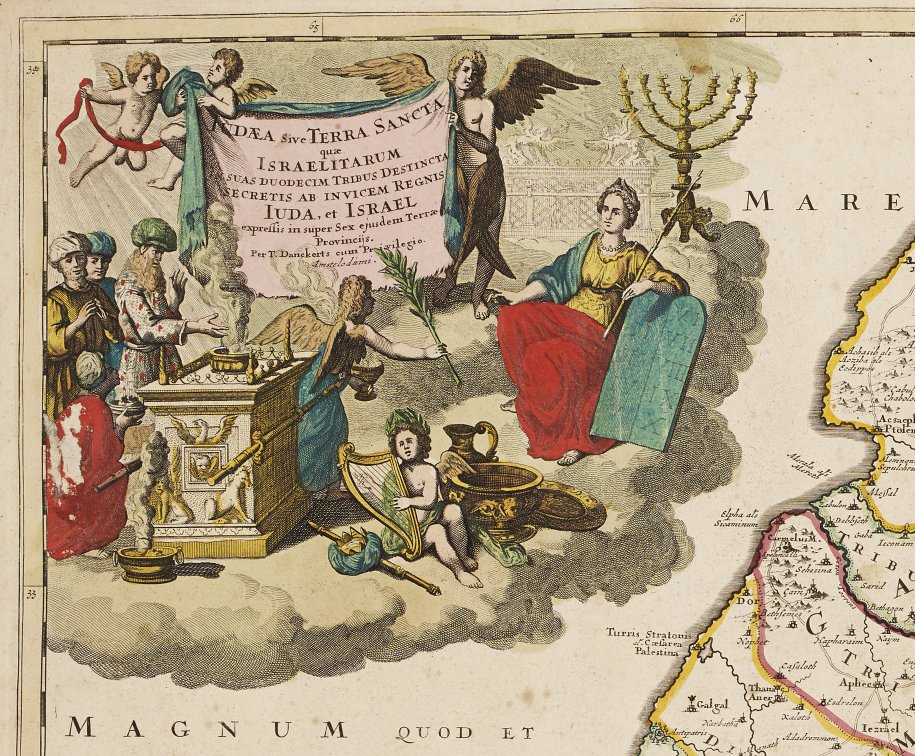
Israel (shelfmark: MUE Kart III 7 : 50) is populated on both sides of the Jordan River by the twelve biblical tribes. The map even indicates where Sodom and Gomorrah supposedly drowned in the Dead Sea. The menorah, the Tables of the Law and the Ark of the Covenant depicted in the cartouche enhance the Old Testament ambiance.
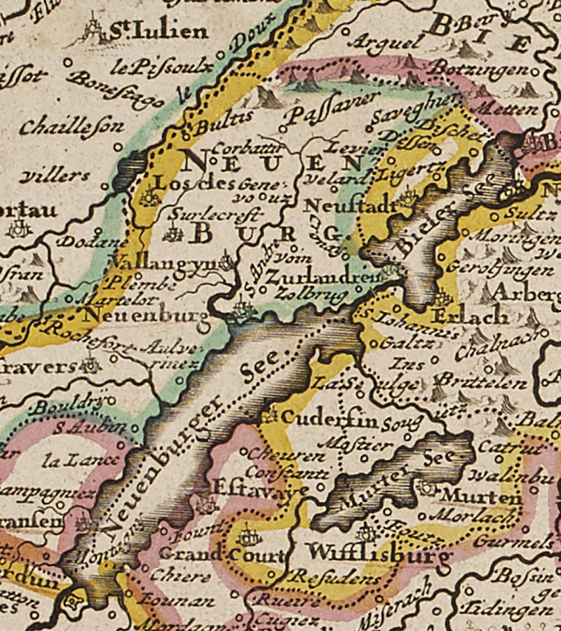
The Latin title of the Swiss map in times of the old Eidgenossenschaft (shelfmark: MUE Kart III 7 : 15) refers to the regions Helvetia, Raetia, Valais and parts of Savoy. Bizarre symbols for mountains are supposed to point out the alpine character of the landscape. Historically, the map reveals how topography has been altered, e.g. by the hydrological correction of the waters in the region of the three lakes (Lake Morat, Lake Neuchatel, Lake Bienne). Likewise, place names and their spelling on old maps are important witnesses of the past.